The County Council approved Bills for Region 5, Region 6, and Region 8
As of June 2026, all Region Plans are approved by the County Council. Please visit the Community Hub sites for details.
Region Plans
Region Plans offered community members an opportunity to develop a shared vision for their future. With the adoption of Plan2040, the County’s most current General Development Plan, the County Council directed the Office of Planning and Zoning to work with communities to prepare plans for each of the County's nine Regions. Click here for a map of the nine Regions.
The Region Plans include an evaluation of community assets and needs, a shared vision for the next 20 years, and specific recommendations about land use, zoning, environmental protection, transportation improvements, public facilities, and community design. The Region Plans build on the previous work of Plan2040.
Anne Arundel County staggered preparation of the Region Plans over time in recognition of limited resources to facilitate community engagement, conduct research and analyses, and write the Region Plans. The County Council determined the order of the Region Plans based on a number of factors, including amount of development and change in the Regions and geographic distribution.
As of June 2026, all of the Region Plans are approved by the County Council. Please visit the Community Hub site for your Region for more information.
Overview
The Anne Arundel County Region Plans are community-driven land use documents that build on the work of Plan2040—the Countywide General Development Plan—in smaller areas. The Region Plans evaluate community assets and needs, present a shared vision for the next 20 years, and make specific recommendations about planned land use, zoning, environmental protection, transportation improvements, public facilities, and community design. The Region Plans are used as a reference for informing future requests that directly affect your neighborhood in areas such as modifying zoning, private development plans, and the capital budget and improvement program.
As of June 2026, all of the Region Plans are approved by the County Council. Please visit the Community Hub site for your Region for more information.
Staff are now working on the implementation of the strategies listed in Plan2040 and the Region Plans. If you are interested in future engagement opportunities, please subscribe to one or more of the Office of Planning and Zoning's email lists.
-
 Region 1
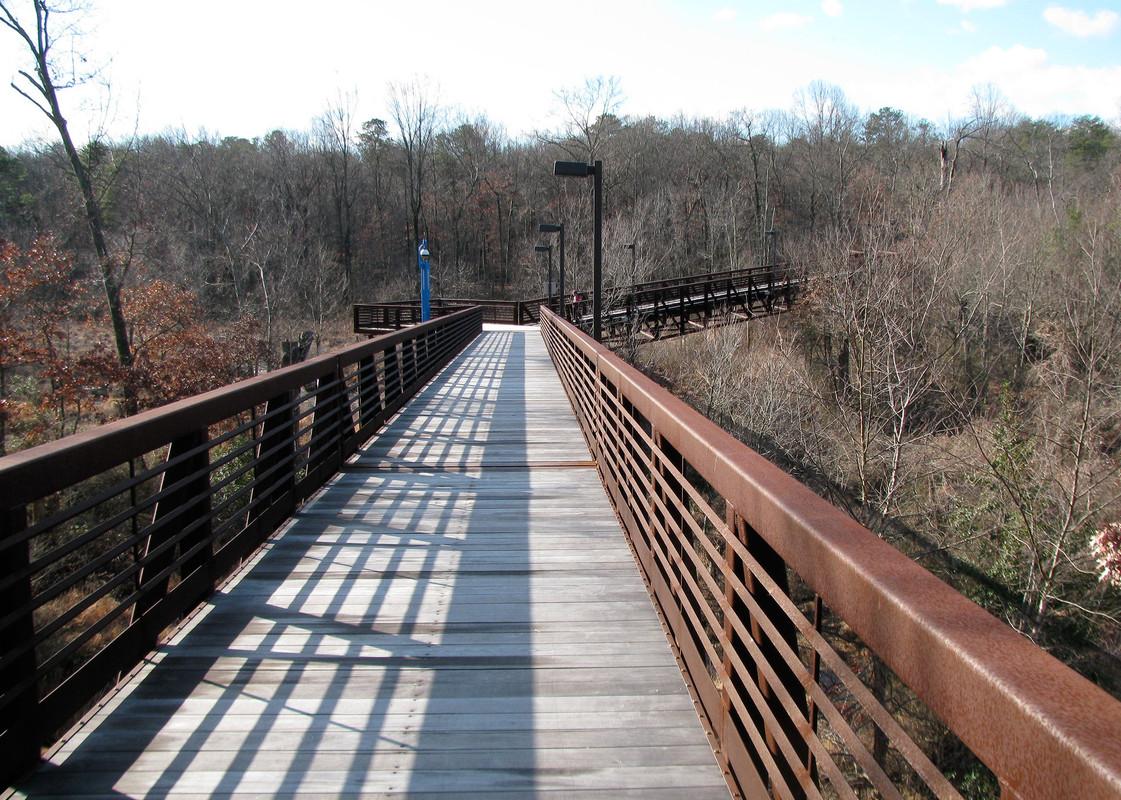
Region 1 includes the north County communities of Linthicum Heights, Brooklyn Park, BWI Airport, Curtis Bay, Ferndale, and parts of Hanover and Harmans.
-
 Region 2
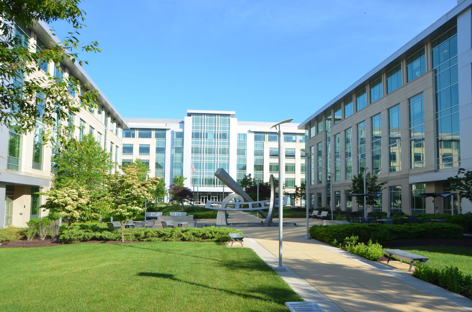
Region 2 includes the west County communities of Jessup, Annapolis Junction, Laurel, Maryland City, parts of Hanover, and Ft. Meade.
-
 Region 3
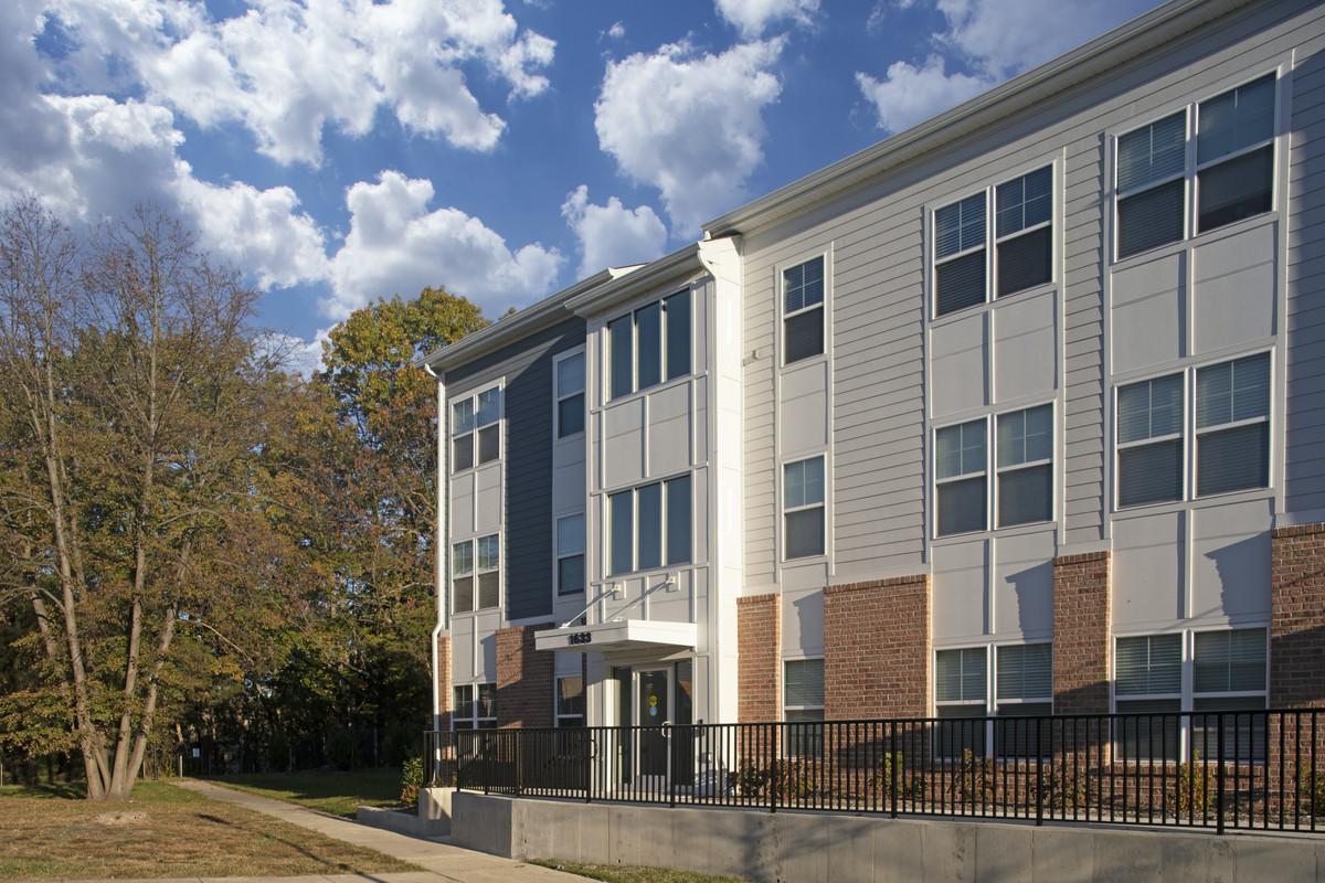
Region 3 includes the central and eastern communities of Glen Burnie, Severn and a portion of Millersville as well.
-
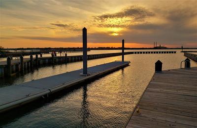 Region 4
Region 4 includes the Pasadena, Severna Park, Arnold, Gibson Island, Cape St. Claire, and Broadneck communities.
-
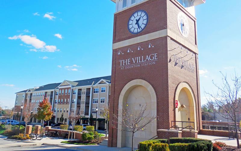 Region 5
Region 5 includes the communities of Odenton, Piney Orchard, Gambrills, Woodwardville, Crofton and Two Rivers.
-
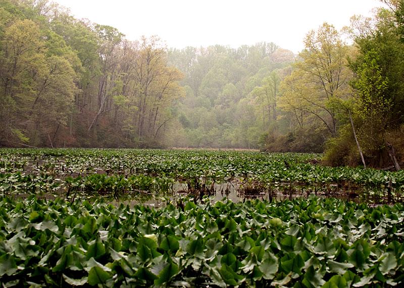 Region 6
Region 6 primarily includes the community of Crownsville, a portion of the I97 corridor, and parts of Millersville.
-
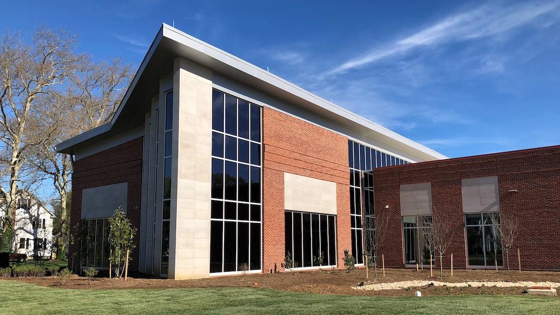 Region 7
Region 7 includes the communities of Annapolis, Annapolis Neck, Parole, Bay Ridge, Highland Beach, and Riva.
-
 Region 8
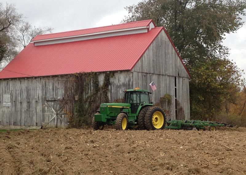
Region 8 includes the communities Davidsonville, Harwood, Lothian, Waysons Corner, and parts of Edgewater and Friendship.
-
 Region 9
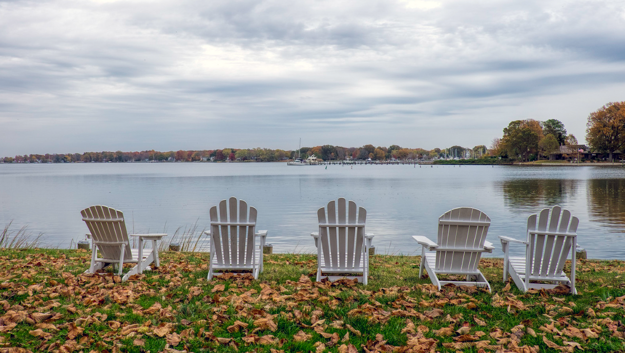
Region 9 includes the southern communities along the Chesapeake Bay, such as Deale, Mayo, North Beach and more.