Project Overview
Anne Arundel County is conducting a Roadway Vulnerability Assessment with funding support from a FEMA Building Resilient Infrastructure and Communities (BRIC) grant. The purpose of this study is to identify vulnerabilities in the county-maintained roadway network to climate stressors, including sea level rise, storm surge, and increased precipitation.
Project Background
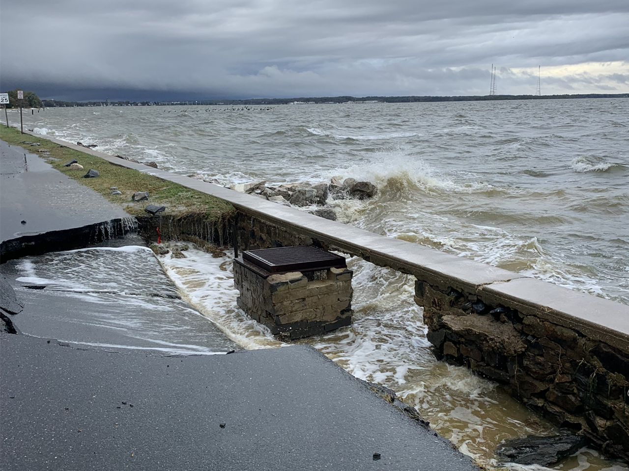
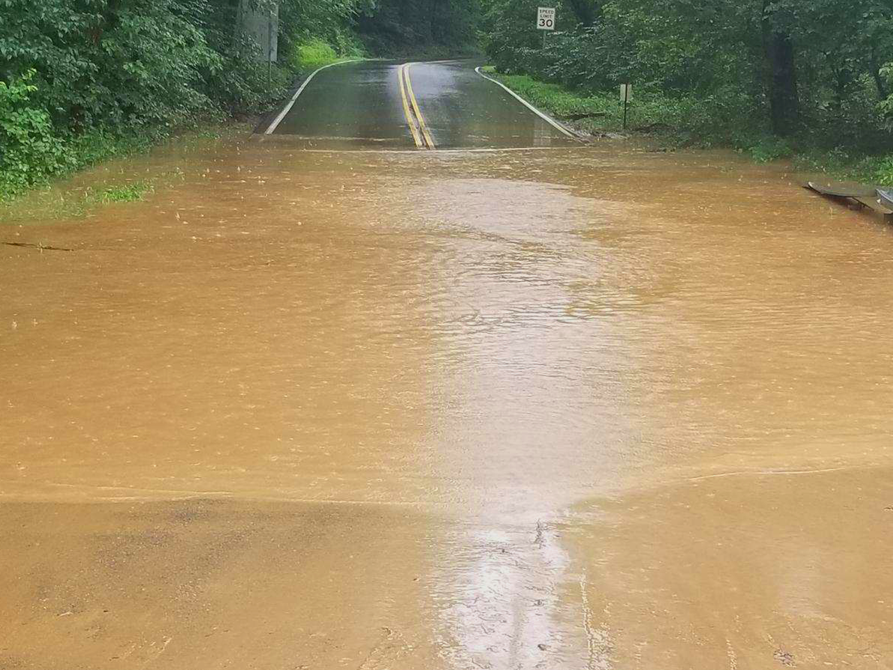
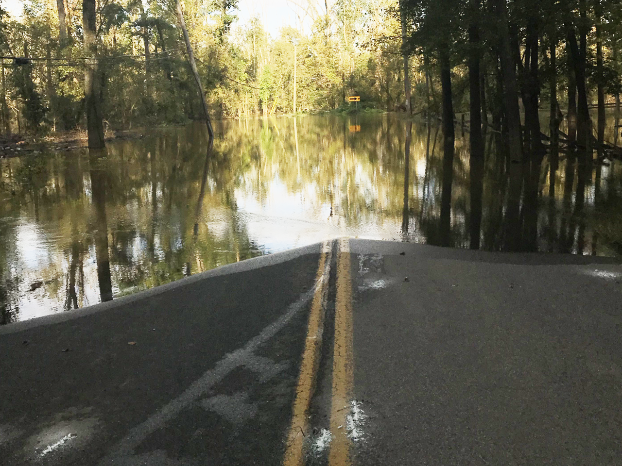
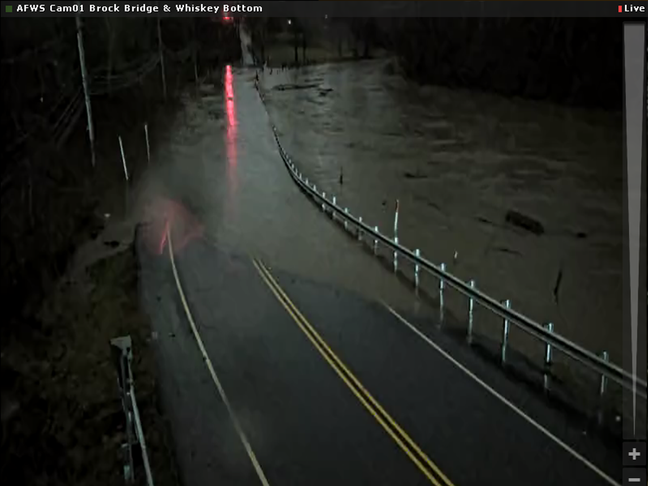
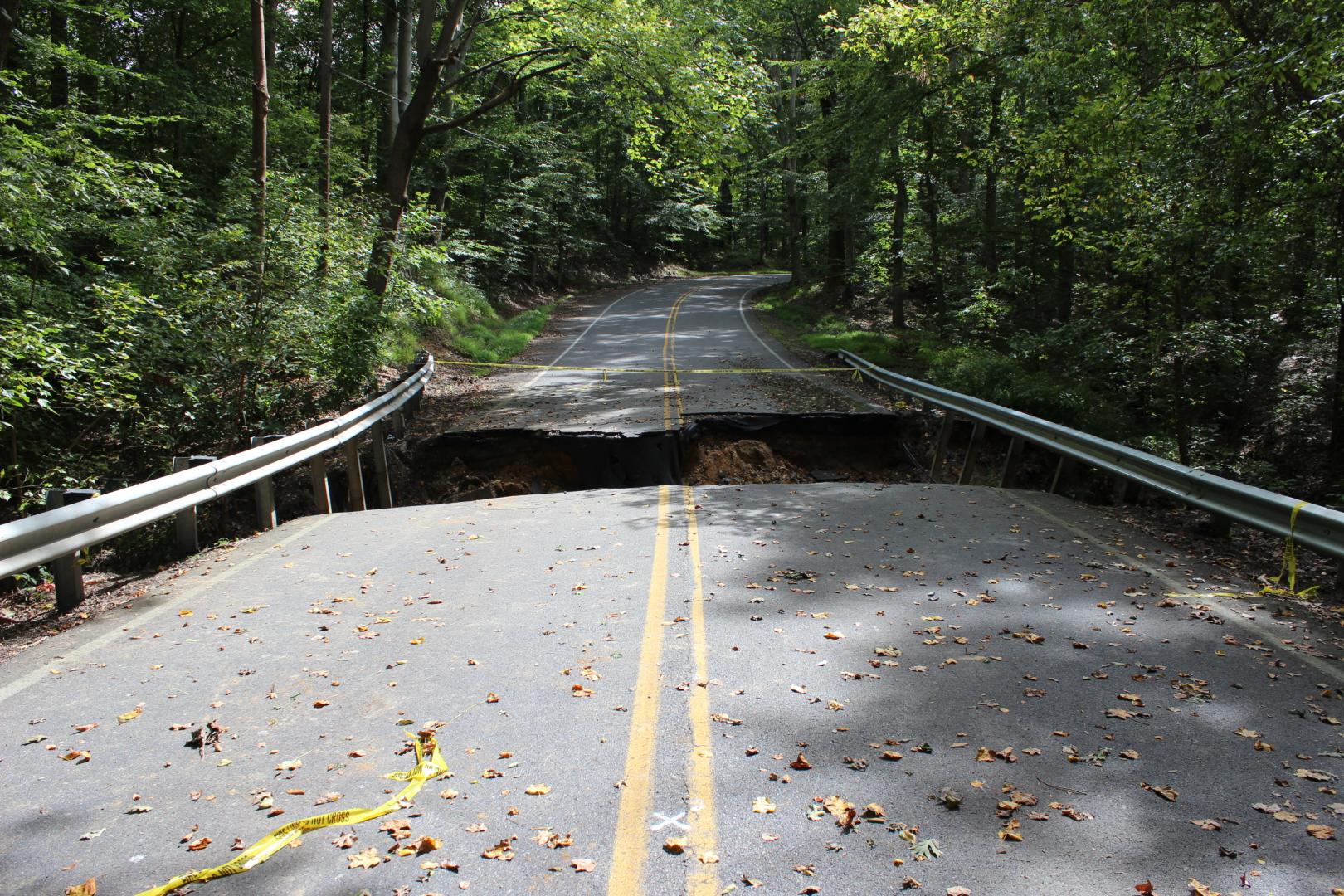
Anne Arundel County maintains approximately 1,850 miles of road and 89 National Bridge Inspection Standards (NBIS) bridges that are essential to daily transportation and emergency response. As climate impacts intensify, roadway infrastructure faces higher risk of flooding, erosion, and damage. Impacts can be temporary or permanent and include access to and from isolated communities and essential services.
In the latest update of the County-wide General Development Plan, Plan2040, the Anne Arundel County Council adopted a set of climate change and sea level rise policies. This project supports long term planning efforts that consider how to provide a transportation network that is environmentally sensitive and resilient, with a focus on identifying at-risk roads, bridges and other infrastructure that are, or will be, vulnerable to flooding in the future and plan for appropriate maintenance and post-event recovery.
Identifying vulnerable roadway infrastructure early enables better planning to mitigate risks, enhance resiliency, and improve access and mobility during and after severe weather events.
Public Meeting
A virtual public meeting was held via Zoom on March 12, 2025, to share project findings and gather community comments. The meeting included a presentation on the study’s background, methodology, and results, followed by a Q&A session. A recording of the meeting presentation is embedded below.
(Meeting transcript available upon request)
Public Meeting Slides March 12, 2025
Adaptation Measures Matrix - Roads
Adaptation Measures Matrix - Bridges
Public Comment Form
Upcoming Activities
Check back for updates and meeting details. For more information or to provide input, please contact hwyscustomercare@aacounty.org.
Stay Informed
Additional Resources
- Resilience Authority of Annapolis and Anne Arundel County
- MyCoast: Maryland: website allows people to report local flooding and upload photos
- Emergency Management | Anne Arundel County Government
- MDEM (maryland.gov)
- Building Resilient Infrastructure and Communities | FEMA.gov
Related Projects